


CORYDON Voting District, Wayne County, Iowa
About
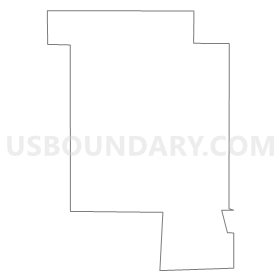
Outline
Summary
| Unique Area Identifier | 583665 |
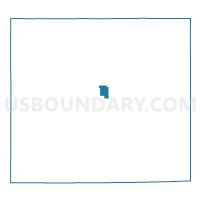
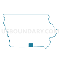
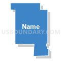
| Name | CORYDON Voting District |
| County | Wayne County |
| State | Iowa |
| Area (square miles) | 1.39 |
| Land Area (square miles) | 1.39 |
| Water Area (square miles) | 0.00 |
| % of Land Area | 100.00 |
| % of Water Area | 0.00 |
| Latitude of the Internal Point | 40.75742560 |
| Longtitude of the Internal Point | -93.31745140 |
Maps

Graphs
Select a template below for downloading or customizing gragh for CORYDON Voting District, Wayne County, Iowa


Neighbors
Neighoring Voting District (by Name) Neighboring Voting District on the Map
- BENTON TWP W/O CORYDON Voting District, Wayne County, IA
- CORYDON TWP W/O CORYDON Voting District, Wayne County, IA